When glaciers covered the Sierra Nevada mountains several times over the last million years, rivers flowing down the mountains grew more powerful, cutting channels a mile wide and 100 feet deep into what is now California’s Central Valley. When the glaciers receded, high-velocity meltwater surged down the slopes, carrying with it scoured gravel and rock. As the flow slowed along the valley below, the cobble dropped out of the water column, filling the canyons. These “paleo valleys” long lay undiscovered below the ground, but now they are being mapped using airborne imaging systems. Their detection could help with a modern problem: California needs to balance flood and drought extremes worsened by climate change—by storing water underground.
Californians have long used groundwater as a backup supply when rivers run low. But surface water and groundwater are connected, so pumping the latter from wells can lower rivers and streams even further. Groundwater levels have been declining for decades because of overpumping and engineered infrastructure that prevents natural refilling, such as levees that block water from seeping down through floodplain soil. Depleted aquifers in the Central Valley now have three times the capacity of California’s approximately 1,400 reservoirs.
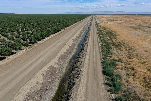
People can help restore hydrologic health by spreading water on the surface to percolate underground, a process called managed aquifer recharge. But clay soils make up 65 to 80 percent of the Central Valley, and water moves through them slowly. That is where paleo valleys (which scientists also call incised-valley fills) could come in handy. Because they are filled with gravel, they are more porous than clay soils and can absorb about 60 times more water.
When large storms hit, Californians could capture floodwaters and spread them atop the youngest paleo valleys, which lie just below the surface. The water would be absorbed quickly and stored for long droughts. This would raise water tables across a wide area, making surface flows stronger and healthier, protecting fish in streams, allowing people continued access to wells and halting subsidence—a phenomenon that occurs when land crumples because the water beneath it has been removed. “These geologic ‘fast paths’ are the natural infrastructure that we need for managing our groundwater resources,” says Stanford University geophysicist Rosemary Knight, lead author of a new study published on Tuesday in Environmental Research Letters.
Graham Fogg, a professor emeritus of hydrogeology at the University of California, Davis, first suggested using paleo valleys for managed aquifer recharge nearly 40 years ago. He has hypothesized that each of the about a dozen rivers coming off the Sierra Nevada has corresponding paleo valleys. But in a quarter-century of searching, he and his graduate students have only found three—using a tedious method that analyzes tens of thousands of soil samples from wells. In the new study, however, Fogg, Knight and their co-authors have proved a faster way to find these valleys: flying a helicopter with an airborne electromagnetic imaging (AEM) instrument to “see” underground. This technology distinguishes soil types based on their electromagnetic responses, akin to magnetic resonance imaging. The researchers used AEM to map one of the known paleo valleys that Fogg and one of his students had already found via soil data. “I thought it was important to figure out whether AEM would even detect these things,” Fogg says. “According to these results, it will.”
Knight’s team used AEM data to make a three-dimensional map showing clays in blue and sand and gravel in red. These maps will help researchers identify paleo valleys elsewhere, she says. Burke Minsley, a U.S. Geological Survey geophysicist who was not involved in the study, says Knight’s data also adds important details about the valley’s geometry, depth and connectivity to other underground flow paths—far beyond what well log data can provide.
Since Knight and Fogg began this research to look for a paleo valley using AEM a few years ago, California’s Department of Water Resources (DWR) has followed the scientists’ recommendation to conduct a reconnaissance project using AEM to map 100 depleted groundwater basins. Data collected so far from the broader but less detailed DWR project are still being processed. But Katherine Dlubac, project manager for the department’s AEM surveys, says that so far it “looks promising” for paleo valleys. “Recharge is really important here in California,” she says. “It’s a high priority for us at DWR ... to help locals get more information about their aquifers.” The state will go back and collect more refined data, Dlubac says, a process that could start in the next six months.
Because paleo valleys are unusual in their capacity, size and accessibility, Fogg and Knight hope areas of land above them can be set aside as dedicated recharge zones. One reason people have depleted groundwater is that the subsurface has been terra incognita. That’s finally changing with these 3-D maps that help people visualize what’s underground, bringing to fruition Fogg’s decades-long vision. It’s “gratifying,” he says, “for people to take notice and make use of the information.”
 Rights & Permissions

